River group plans map project
Published 10:54 pm Thursday, January 5, 2012
The Nansemond River Preservation Alliance is planning another step to meet its goal to raise awareness about the beauty and history of Suffolk’s waterways.
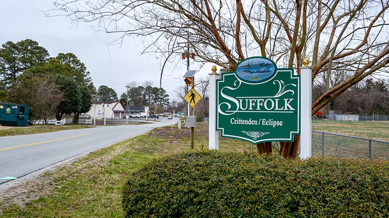
The group is teaming up with the Crittenden, Eclipse and Hobson Heritage Foundation to create a map and guide of Suffolk’s rivers for residents and visitors.
Karla Smith, who is leading the Blue Water Trail Map project for both groups, said they want to create a map listing the current public access sites as well as historic and environmental landmarks, so people can learn about the waterways and better appreciate them.
“Our goal is increase public access, map what we have now and pinpoint historic things that happened in Suffolk waterways from John Smith and Jamestown beginnings to the last century,” she said.
NRPA and CE&H Foundation are working with the U.S. National Park Service to get the maps created this year, but the project has been in the works for a while.
Smith said in the ‘80s, Girl Scouts in the CE&H area worked to create a list of Suffolk’s canoe routes.
“But nothing has been done since then,” she said.
In 2009, the CE&H Foundation started meeting with the city’s Parks and Recreation department to do a renewed map.
But in the process, Smith said, the members found out a piece of information that changed their goal.
“We saw that public access has basically shrunk in the past 20 years,” she said.
Smith said the only boat ramp open to the public is in Bennett’s Creek.
“That’s totally inadequate for the miles and miles of rivers,” she said.
As a result, CE&H Foundation teamed up with the newly formed NRPA to meet a new goal.
“Our ultimate goal is to we map out what’s in Suffolk and trying to encourage Suffolk to increase public access,” she said. “We decided to go ahead and at least do a map of what waters are in Suffolk and where you could get in and out.”
For the Blue Water Trail Map project, the groups received a grant that has provided them with Ursula Lemanski, liaison from the National Park Service Rivers and Trails Program.
“She’s really helping to locate the resources the National Park Service knows of and finding grants for us that can help us make this happen, which is really great,” Smith said.
The Virginia Foundation also gave a $7,500 grant for the project.
The groups want to include a map and landmarks on one side and information on the area’s history and native animal species on the other.
Smith said the groups hope the map project will help to have the Nansemond River added to the John Smith Chesapeake Historic Trail.
“That will get it national recognition for your trails and waterways,” she said. “That opens Suffolk up to eco-tourism and historic interest.”
Smith said the groups have to come up with funding to cover their budget of $25,000 to $29,000 for all of the costs, but if everything goes well, they hope to have the maps out in September.
The Nansemond River Preservation Alliance will have more information on the Blue Water Trail Map project and the John Smith Chesapeake Historic Trail at its meeting Jan. 17 at 6:30 p.m. at the CE&H Ruritan Hall.