Significant snow possible
Published 8:16 am Friday, January 29, 2010
Suffolk residents enjoyed a taste of spring this week — which likely came as a relief after so much of January was unusually cold — but the area could look like a winter wonderland by this time tomorrow.
The National Weather Service predicts Suffolk will receive snow late tonight and on through tomorrow.
“We have a system moving toward the area Friday night,” said Chris Wamsley a meteorologist at the Wakefield station of the National Weather Service. “While it will start to come through Friday night, it will impact the area more on Saturday, with the heaviest snow being during the day and afternoon. We could see flurry activity Sunday, as well.”
Gov. Bob McDonnell, who declared a state of emergency on Thursday, said in a press release that the southern half of Virginia — from the Southwest to Hampton Roads — was expected to receive the brunt of the storm.
A state-of-emergency declaration allows the governor to order state agencies to work with local governments to develop an effective response prior to the snowfall, the press release stated.
Temperatures are expected to plummet Friday night into the mid-20s and stay low through Saturday. While the sun will be out on Sunday, colder air will come through and drop temperatures to the teens and single digits.
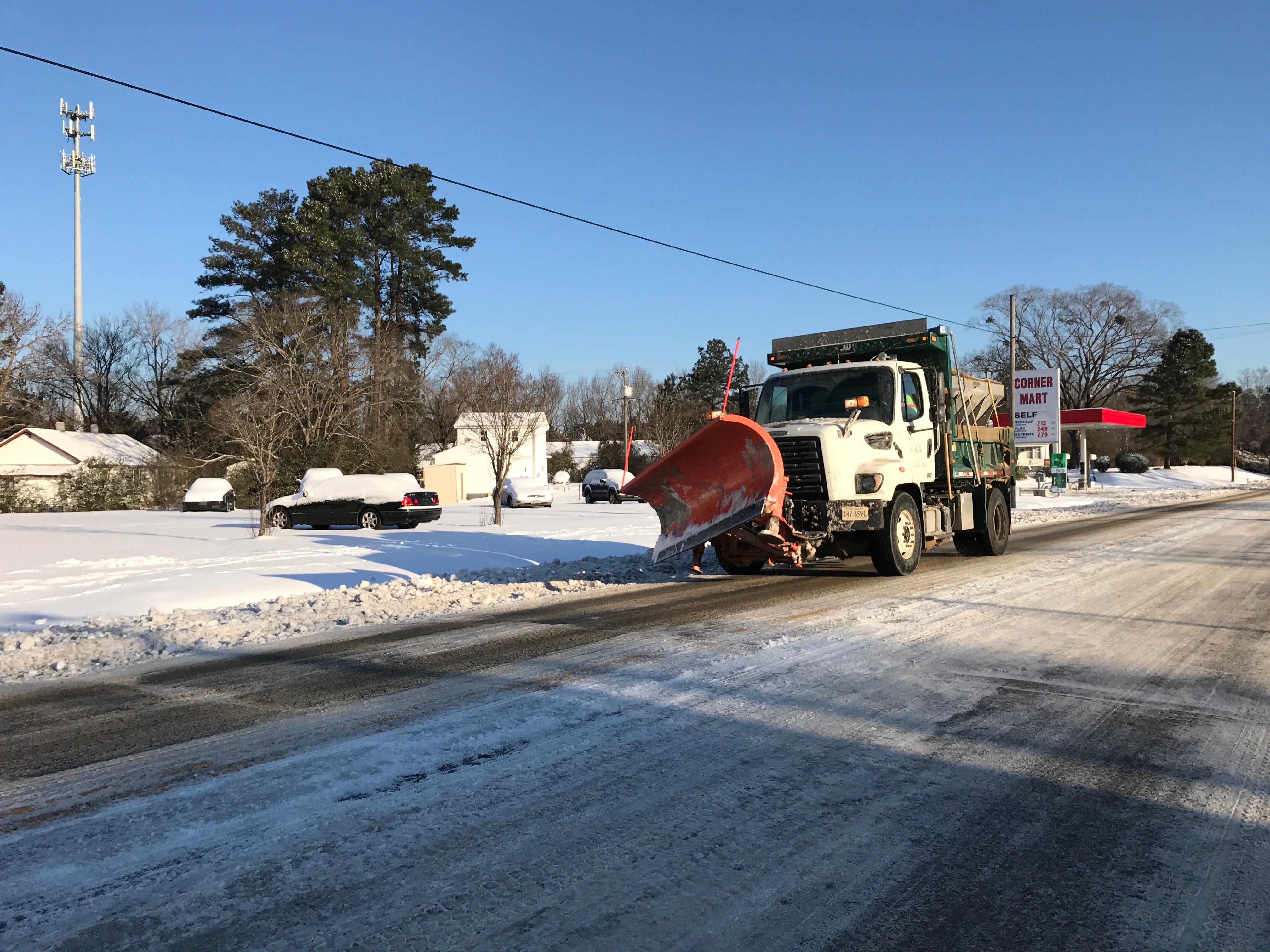
Because of the below-freezing temperatures the snow will most likely stick.
If the weather patterns come through, “Suffolk should expect an accumulation of five to nine inches,” Wamsley said.
People should take normal precautionary measures when driving in the snow, “but since the temperature won’t rise above freezing until Monday — and then may drop back down during the night, causing the melted snow to freeze to ice — next week will be more of a driving concern,” he said.
A winter weather watch that had been issued on Thursday was expected to turn into a winter weather warning today as the storms that are expected to bring the snow approach the area.
From the north, a cold blast is expected to cause the frigid temperatures Friday evening. From the west — across the plains and Mississippi — a storm system will bring moisture to the area. When the two systems collide, meteorologists say, snow will be a likely result.
While the weather service has a current watch – meaning winter weather conditions are possible – on the area, Wamsley said to expect the watch to turn in to a warning – meaning conditions are occurring or about to occur – on Friday as the storm approaches.
The city of Suffolk was keeping an eye on the weather patterns on Thursday, and officials expected to be able to decide on preparatory actions to take sometime today.
“As with all threats of severe weather, the forecast is being monitored by the Department of Emergency Management,” said Debbie George, city spokeswoman. “We anticipate having a much clearer picture as to what to possibly expect within the next twelve hours. All city departments are prepared to respond accordingly.”
To keep up to date on the current storm, visit www.weather.gov and click on the commonwealth of Virginia on the map.