Suffolk’s 2018 starts with snow
Published 3:15 pm Tuesday, January 2, 2018
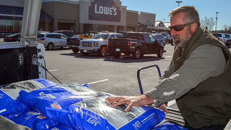
- Suffolk resident David Eure, 48, loads his truck with bags of ice melt on Tuesday from the Lowe’s on North Main Street.
Suffolk is expected to see a blast of winter weather — along with some of the white stuff — this week.
Three to six inches of snow accumulation are expected for Suffolk during a winter storm this Wednesday and Thursday, according to Larry Brown, a meteorologist with the National Weather Service in Wakefield.
The bulk of the snowfall is expected to occur Wednesday night, with some lingering snow showers Thursday morning. Wind gusts of 25 to 30 miles per hours are also expected Thursday.
A winter storm watch has been issued for Suffolk and surrounding areas from Wednesday afternoon through Thursday afternoon. Heavy snow with significant reduction in visibility is possible, and the morning commute on Thursday is expected to be affected.
Wednesday’s high temperature is expected to be above freezing — but still cold and dry — while Thursday’s high should be around freezing. Forecasts for Friday and Saturday have high temperatures between 20 to 29 degrees Fahrenheit and lows in the single digits, Brown said.
“Whatever falls over Wednesday night, even if it’s only a couple of inches, will be there until at least Sunday,” he said.
City spokesman Tim Kelley wrote in an email Tuesday that city staff will monitor weather reports to determine the levels of needed response in anticipation of the storm.
The public works department has “a full store of sand and salt prepared and staged,” and “all plows and spreaders are ready for the season and calibrated,” according to Kelley.
Additionally, all primary roadways are expected to be treated with a brine solution by noon Wednesday, along with most — if not all — of the major secondary routes.
“Public works crews started making practice runs for their snow plow routes in early November and feel confident they are up to the task for handling winter weather support needs,” Kelley stated in an email.
Suffolk Public Schools planned to make a decision about whether to cancel Wednesday afternoon and evening activities by noon, division spokeswoman Bethanne Bradshaw wrote in an email Tuesday. Any changes will be communicated on the division’s Facebook page and website, through School Messenger and by local media and their websites. A recorded message will also be available after hours at 925-6750.
The first day missed for inclement weather this year will be made up by extra instructional hours built into the schedule, Bradshaw said. The second day is set to be made up on Jan. 29, which is currently scheduled as a clerical day.
Virginia Department of Transportation Hampton Roads began pretreating interstates and roads throughout Hampton Roads on Tuesday to help prevent ice bonding to the pavement and assist with snow and ice removal, according to a press release.
“VDOT’s goal is to have state-maintained roads open and passable within 48 hours after the storm ends,” according to the press release.
AAA Tidewater advises motorists to increase their following distance between vehicles, drive with caution on bridges and overpasses, and avoid using cruise control on icy or wet roads.
If your car skids, ease off the gas pedal, brake slowly and gently, and steer the front of your car to try to control the skid, according to the AAA press release.
Motorists are also advised to prepare winter weather kits that include blankets, ice scrapers, flares, flashlights with extra batteries, jumper cables, shovels and bags of abrasive material such as cat litter.
“Being prepared for the storm and knowing how to drive properly on slick or icy roads can make all the difference when precipitation starts to fall,” AAA Tidewater spokeswoman Georjeane Blumling stated in the press release. “AAA urges motorists to have a winter weather kit in their car which can help free the vehicle when stuck, warn the other motorists and keep the driver and passenger safe and warm.”