The latest on Hermine
Published 2:42 pm Friday, September 2, 2016
UPDATED Friday 2:53 p.m.: Cancellations have started to come in as a result of Hermine.
- The Farmers’ Market at the Suffolk Visitor Center on Saturday has been canceled.
- The Great Dismal Swamp Safari set for Saturday has been canceled.
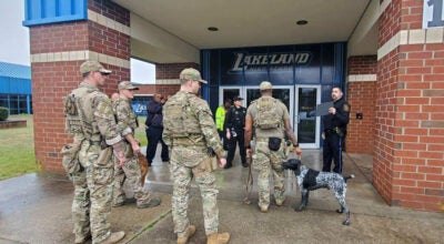
Nansemond River High School and Lakeland High School are still going to try to play their football games scheduled for tonight, the coaches reported.
UPDATED Friday 2:50 p.m.: Dominion Virginia Power reports it does not anticipate a large impact on its system.
Even so, “we have been actively preparing for this storm for more than a week,” a press release from spokeswoman Bonita Billingsley Harris stated.
“We are staging and deploying crews, personnel and employees to respond as safely and efficiently as possible,” she stated. “We have filled all shifts and added staffing in certain offices, identified additional teams we can deploy if needed, and our trucks are fueled and stocked.”
Dominion customers are encouraged to keep their mobile devices charged.
Dominion also reminds customers that all downed power lines should be treated as live and dangerous. Stay back at least 30 feet, and do not touch anything touching the wire. Keep children and pets out of any area with storm damage. Call 1-866-366-4357 to report the downed wire.
UPDATED Friday 2:45 p.m.: Gov. Terry McAuliffe has declared a state of emergency for Virginia as Tropical Storm Hermine approaches the state.
The Virginia Department of Emergency Management issued a press release about 2 p.m. Friday with some discomforting news: not only is it possible for the storm to reconstitute as a nor’easter once it reaches Virginia, but also the storm could stall once it reaches the Virginia coastal area.
The National Weather Service has issued a tropical storm warning for Suffolk, meaning tropical storm conditions are expected within the next 36 hours — sooner, in this case.
A flash flood watch will take effect early Saturday and continue through Saturday evening.
Three to six inches of rain, as well as sustained winds from 25 to 35 miles per hour with gusts up to 50 miles per hour, are expected. Some flooding is expected along the Nansemond River and creeks, and low-lying roads may become impassable, according to the National Weather Service website.
The storm is about 300 miles across and is expected to continue up the East Coast and impact Virginia beginning this evening, according to the Virginia Department of Emergency Management.
The governor’s emergency declaration decreases time and paperwork required to get personnel, equipment and supplies where they are needed and ensures a fully coordinated state response, according to the VDEM.
The VDEM issued the following last-minute safety tips:
- Stay at home unless ordered to evacuate. Be prepared to stay at home, with enough food, water and medicine for at least three to five days.
- Do not drive or walk through high water. If water is rising quickly or you see a moving wall of mud or debris, immediately move to higher ground.
- Secure garbage cans, lawn furniture and anything else that could become airborne and cause damage.
- Designate an out-of-town emergency contact and give that person’s phone number to each family member.
- Listen to NOAA Weather Radio and your local media to know when flood watches and warnings are issued.


