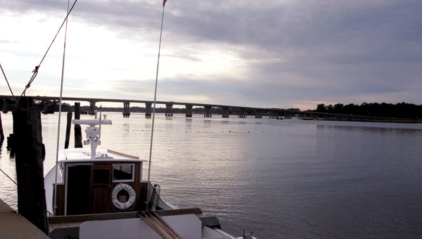
Out on the water
Published 7:44 pm Monday, May 21, 2012

The Lisa Dawn is one of Eclipse's last working oyster boats. Watermen Ben Johnson and his father, Robbie Johnson, ply Chuckatuck Creek and the nearby Pagan River six days a week during oyster and crab seasons.
Many of the names have disappeared from modern maps, but some still exist: South Quay. Constant’s Wharf. Bennett’s Creek. The Riverfront.
They are the littoral names that prove the landscape of Suffolk has as much to do with the water that forms its boundaries, borders and features as the actual land.
Water runs through Suffolk’s history like blood through a person’s veins. Without the blood flowing, there would be no life. Similarly, without the presence of the rivers, lakes and ponds that define much of Suffolk’s environment, the city would lose the force that has animated so much of its history.
The influence of water in Suffolk can be seen stretching from the sands of Rivershore Beach, where Chuckatuck Creek and the Nansemond River empty into the mighty James River, to the tree-lined banks of the Blackwater River at South Quay.
From the time of the Nansemond Indians, who plied these waters in canoes long before explorers from Europe had set foot in America, the waters of what one day would become the city of Suffolk have provided sustenance, recreation and relaxation to those who have lived near them. And the same has been true throughout modern history, as well.


