It’s not over yet
Published 6:58 pm Tuesday, February 24, 2015
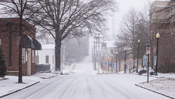
Bank Street during last week’s snowstorm. More snow fell Tuesday, and yet more is expected next week.
With the President’s Day’s snowfall still on the ground in many places, authorities have begun preparing roads and issuing warnings for this week’s predicted new accumulations, which began Tuesday.
Fast-moving troughs are causing the snowfalls, said Lyle Alexander, a meteorologist with the National Weather Service in Wakefield. One of the upper-level systems was expected to arrive here Tuesday night after developing off the Carolina coast, and a second, in the Gulf, was expected to arrive Wednesday night and into Thursday morning.
New accumulations of up to 1 to 1 ½ inches were set to occur Tuesday afternoon and evening, Alexander said, and up to 4 to 5 inches is possible for Wednesday night and Thursday morning.
Sunshine and a high near 44 is predicted for Wednesday, but the temperature is expected to fall to a low of around 27 that night, with the onset of snow.
The outlook is better for next week. Alexander said Suffolk can expect temperatures in or approaching the low 50s Sunday through Tuesday. “The first part of next week we are going to be mild,” he said. “It could turn colder later in the week, but we are not sure about that.”
A winter weather advisory was in effect until midnight Tuesday, with snow and sleet expected to make for slippery driving conditions and limited visibility. A separate hazardous weather outlook warned of possible “significant snow accumulation.”
Some sources were predicting much heavier snow than the official national forecasters.
The Suffolk Emergency Management Office was continuing to monitor conditions and the forecast, city spokeswoman Diana Klink stated.
Employees were reminded to use caution during their commute, and public works trucks and operators were expected to be on the roads during Tuesday evening’s snowfall.
“Staff will continue to review the developing weather and how roads will respond to any resulting conditions to determine the appropriate response needed following the snow event,” Klink added.